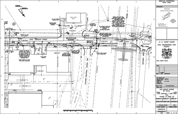
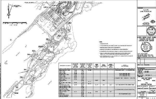
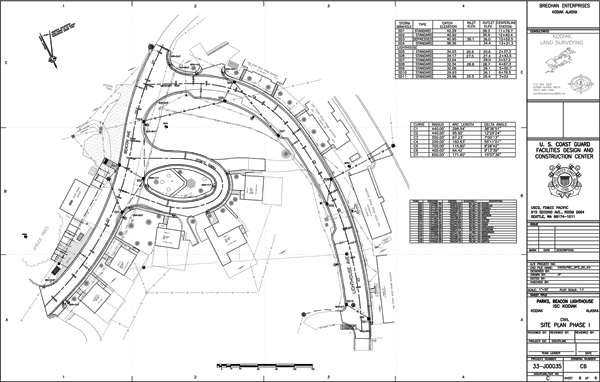
Kodiak Land Surveying offers a full range of land surveying services tailored to meet the needs of our clients.
We specialize in providing solutions to commercial and corporate enterprises as well as federal and municipal governments throughout the state of Alaska. We have been successful in completing a full range of surveying projects statewide and would be happy to assist you in any way we can.
Our range of expertise includes
● Engineering / Architectural Support
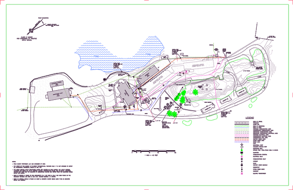
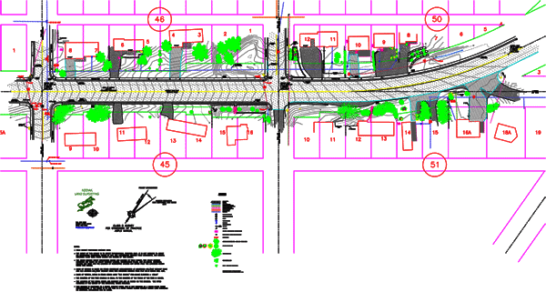
Topography for Design
Profiling for Electrical, Pipeline, Submarine Routing
Structural and Mechanical As-Builts
Deformation Survey Control and Monitoring
Design Calculations
Surface Modeling
AutoCAD Plan Sets
Kodiak Constructability Reviews
Project Inspection Support
● Boundary
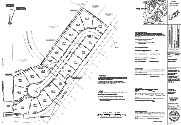
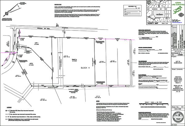
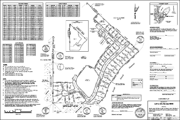
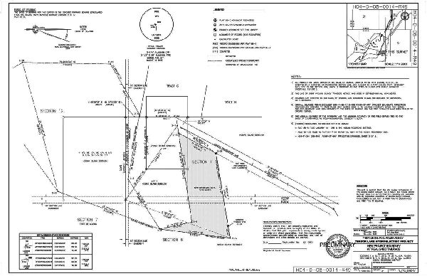
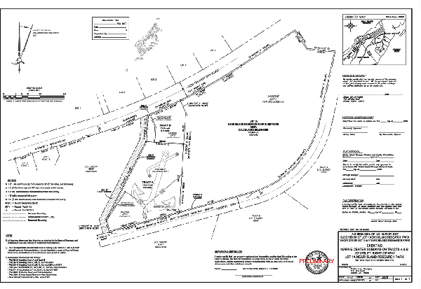
Subdivisions, Residential and Remote
Alaska Tideland Surveys
Alaska Remote Parcel Surveys
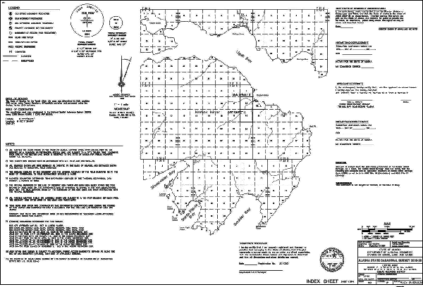
Alaska Cadastral Control Survey
ANCSA Cadastral Original and Retracement Surveys
ANCSA Allotment, Townsite, Historical Site Surveys
Public Land Survey System Aliquot Part
● Survey Control
Deformation Monitoring
Datum Conversion Calculations
Aerial Control
Construction Control
GIS and Facility Asset Management
Aerospace Mission Planning and Execution
Historical Preservation and Management
Global Positioning and Digital Leveling
● Hydrographic
Topography for Design
Surface Modeling for Quantities
Profiling for Sub-Marine Installations
Certified Dockside Piloting Surveys
● Construction Support
Layout, Slope Staking, Pre and Post Project Bidding
Design Build
Detailed Surface Models
Certified Quantity Calculations
As-Builts
● Environmental
Site Surveys
Impact Delineation
Wetland Delineation
Cleanup Progress Documentation
● Accident Site Mapping
● Archaeological/Historical Site Surveys
